Back to results

Charting the Changes

Junction Road, Dorking, Surrey, RH4 3HB

  • 06 Sep 2024
  • In person
  • Pre-booking required

From the earliest times to the present day, maps have depicted developments in the Mole Valley area. In this talk, we'll show a selection of such maps, looking particularly at the evolution of ‘Routes, Networks and Connections’.

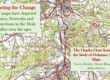
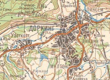
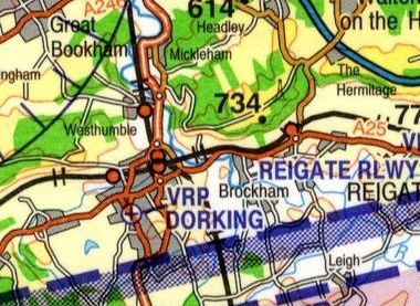
At the launch event for Heritage Open Days in Mole Valley, speakers from The Charles Close Society for the Study of Ordnance Survey Maps will present a variety of maps from many sources and ages, highlighting such topics as land-use, topography, transport, urban growth, leisure and recreation. For yet another perspective, they’ll also look at maps of the local area compiled by the Soviet Union during the Cold War era.

Timings & Tours

Friday 06 September:
1930-2030

Location & directions

Junction Road, Dorking, Surrey, RH4 3HB

Directions:
The church is located opposite to the car park entrance to Waitrose. Access is via the door on the right.
Contact on day:
Alex Gilbert
Telephone number:
+44303879314

Booking information

Pre-booking requirement:
Pre-booking required
Booking conditions:
Book via the Dorking Halls Box Office
Booking contact name:
Dorking Halls
Booking telephone number:
+441306881717
Booking email:
[email protected]
Booking opens:
01 Jul 2024 10:00 AM
Booking closes:
06 Sep 2024 04:00 PM

Accessibility details

The entrance, auditorium and toilets' are fully accessible, but the balcony is not.

Additional information

There is no parking at the venue but there is parking in the town centre car parks, including the Junction Road car park close by.

Max no of people per tour:
75
Est. tour duration:
1 hour(s)

Back to results