Wokingham All Saints Church - Detailed Map of the town from 1872
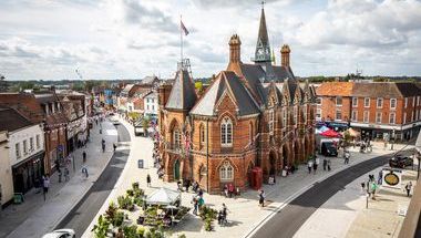
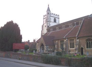
Wokingham All Saints Church, Wiltshire Road, Wokingham, Berkshire, RG40 1TN
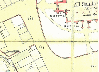
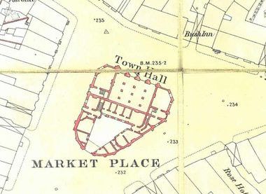
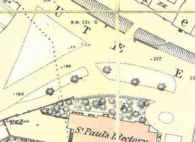
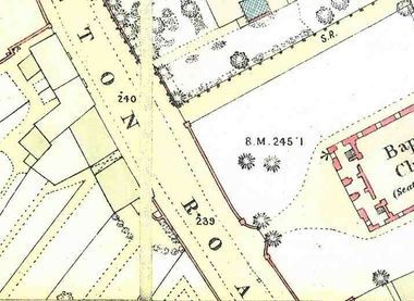
The archive maps, held by the church, detail properties within the town in 1872 showing gardens, outbuildings and wells within the ground of the properties. The routes and names of streets, some that are no longer are used, can be discovered along with some significant trees recorded by the surveyer. The display will be accessible within the church even when other events may be taking place.
Wokingham All Saints Church, Wiltshire Road, Wokingham, Berkshire, RG40 1TN
The Cafe will be open on Monday, Thursday, Friday and Saturday. The church building is used regularly by some groups but there will be no restriction to the map exhibition. There will be signposts to the display.
The foundations of the church building date from around 1185, the time of Henry II. The pillars are constructed from Clunch (a form of Chalk frequently found in Normandy buildings of the same age) making the pillars now over 800 years old. The height of the nave was raised around 1450 to provide the clerestory with windows in the perpendicular style. The Victorians strengthened the outer walls in 1864 and lengthened the chancel. The stained glass is also Victorian. There is a floor and wall memorial to a 1500's Bishop of Bath and Wells (don't mention Black Adder).